Resolve boundary data and zoning mismatch with proven parcel mapping solutions.

Real estate decisions hinge on absolutely accurate parcel mapping, but often, recorded property lines show spatial mismatches between boundary claims in legal deeds, old maps and surveys, and actual GIS layers. Resolving these conflicts a\t scale requires specialized geo-referencing, topological validation, and high-volume data conflation, which most internal teams aren’t equipped to handle. HitechDigital’s parcel mapping services help you resolve these boundary data conflicts with a single, legally sound source of truth and restore trust.
Our parcel mapping solutions offer raster-to-vector conversion of old maps, and we also validate legal deed descriptions against source survey records. Our teams aggregate and normalize all parcel data, including assessor files, GIS layers, and public records, into new, georeferenced cadastral map books. This GIS parcel mapping is then integrated directly into your GIS, CRM, MLS, or CAMA (Computer Assisted Mass Appraisal) platforms.
Our team delivers 99.99% data accuracy and we have mapped over 15M+ parcels. We use AI and script-powered feature extraction for high-speed digitization, followed by geospatial data annotation, QA checks and human validation. Our secure cloud-based systems allow real-time updates that maintain high accuracy all the time, and our parcel mapping services team works with you for custom use cases using the latest GIS tools, geo-referencing and layer integration.
15 M+
Parcels Mapped
50 +
GIS Experts
75 +
Project Completed
99.9 %
Precision
Map your land smarter for efficient and effective land management.
Contact us today →Intelligent mapping solutions for smarter real estate business strategies.
Automated GIS workflows along with validation techniques the entire process is streamlined reducing manual effort driving accurate results.
Tasks like data capture, layer integration, georeferencing automated driving quick project completion and reducing operational costs.
Verification of property deeds using techniques like cross referencing, survey records and other data reducing discrepancies in transactions.
We gather and combine parcel maps, key data, property visuals offering quick reference for developers and assessors.
We collect records from multiple sources like GIS layers, public records, etc. to create a single unified view for complete access at one place.
We facilitate seamless data sharing by integrating with CRM software, property databases, and GIS platforms.
More than 95% of our clients are recurring, a testament to the unwavering trust and satisfaction our services consistently deliver.
– Sarah Jones, Land Acquisition Manager, Greenfield Development Corp.
– Michael Brown, GIS Analyst, County Planning Department
– Lisa Chen, Real Estate Broker, Urban Realty Partners
In simple words real estate mapping creates visual maps that clearly indicates location, dimensions, property details and any other information needed to assess the property. It is like digitizing the entire land, every piece of land information is compiled and unified at one place. It makes the life of a real estate agent, developers or even buyers easy. They get a clear and accurate measure of the land parcel, its lay and contours and its attributes. It makes property management simple.
Our parcel mapping solutions is comprehensive covering every aspect of land details you would need. Whether it is boundaries, ownership details, zoning information, tax details, legal aspects, we cover we each detail. And we don’t just stop here. We move a step further and even cover details on infrastructure, environmental layers, utility, and much more. We combine all information at one place in a GIS-enables map for easy and quick visualization.
We have proprietary real estate data sources and concurrently we access public records, government portals, surveys, satellite and aerial imagery and third party providers.
We use the most advanced and latest technology for parcel mapping so that we deliver you accurate and comprehensive parcel data. We use GIS platforms, CAD & design tools, imagery tools, geospatial data annotation tools and also AI and cloud database systems to ensure our stays accurate and meaningful all the time. Our accuracy is always 99.99%.
Parcel mapping services makes your life easier. You get all the information in a digitized form at a single place for easy and quick view. The interactive parcel map gives you access to any property related data you need at any point of time. You are always sure of your business decisions as the data we provide is reliable and no wrong decisions are made. This obviously improves your efficiency as the automated interactive digital maps reduces manual hours and mistakes. Your compliance is up to date, visualization is enhanced.
Despite the dynamic nature of the records, we ensure that out data stays 99.99 % accurate most of the time. High resolution satellite, aerial imagery, topological validation, attribute verification, all ensure our data stays precise. Every single parcel data goes through georeferencing and stringent quality control processes and finally with expert human review we release the data.
Yes, we ca do it. Our parcel mapping solutions can be tailored as per your specific business needs. You can tell us about your project requirement, whether you would need focus on zoning details or ownership data or surrounding details, we can align our services accordingly.
Usually, our turnaround time is quick but based on your project complexity it can vary. But once we receive your query, our experts respond within 24-48 hours and then we fix a time slot to discuss your needs. Once we understand your requirement, then based on mutual agreement we set the timeline. But you rest assured, we are much quicker than most of our competitors.
We are flexible and can deliver in the format you require or one that best suits your needs. If you have GIS software, we can provide GIS-compatible files and can also provide PDFs or map books.
Of course, this is our job. We ensure that the data we provide is usable by your system without any hitch. We integrate parcel maps with GIS platforms, MLS database or any customised applications.
Yes, that is necessary and part of our services. We ensure that your data is always updated and current. Our ongoing maintenance involves monitoring any changes in ownership, zoning, land use and any such changes. And any change in data is instantly updated on your system. We also have plans like daily, monthly etc. or we can tailor the monitoring based on your requirements.
We don’t have a fixed pricing structure. Based on your project need, scope, project complexity, and even delivery format we plan the pricing. Like some of our clients just ask for area of coverage, some may need minute detailing and for some specialized integration is needed. But we can assure you that our pricing is budget friendly and competitive.
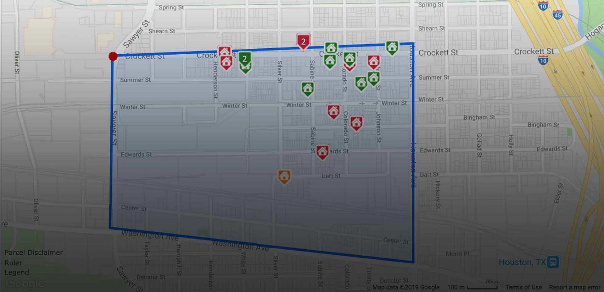
We can, when you establish contact as most information is covered by NDAs and we need to get client approval. However, you can check this case study where we used polygons for boundary mapping of 200,000 property parcels for a US-based real estate company.
It is simple. You share your requirements or just leave a message; our representative will connect with you within 2 hours. We schedule a meeting to understand you need. Once we are clear we will share a proposal customised to your need. We also share a time plan based on the urgency of you request. Once we mutually agree, we start working on your project. Our maintenance plan is optional.
Beyond parcel mapping, we have expertise in land data aggregation, real estate data cleansing, data enrichment, real estate photo editing, MLS listing management and much more. Do connect with us for your requirements.
95% recurring clients and partnerships with industry leaders reflect our commitment to customers – their growth, their satisfaction.


3,100+
Satisfied Clients50+
Countries Served5,000+
Projects Completed1,000+
ProfessionalsPrioritizing client’s growth, fostering trust, collaboration, and leading with empowerment to achieve shared success.

Bachal Bhambhani
Sr. Vice President, SalesBachal represents HitechDigital in North America, and helps client and our production teams collaborate effectively on projects and partnership initiatives.

Snehal Joshi
Director, Data Solutions & BPMSnehal, a seasoned leader, manages a large data team. He's delivered numerous projects, driving growth through process innovation for clients across industries.